--From wikipedia
 |
| View from the crater. |
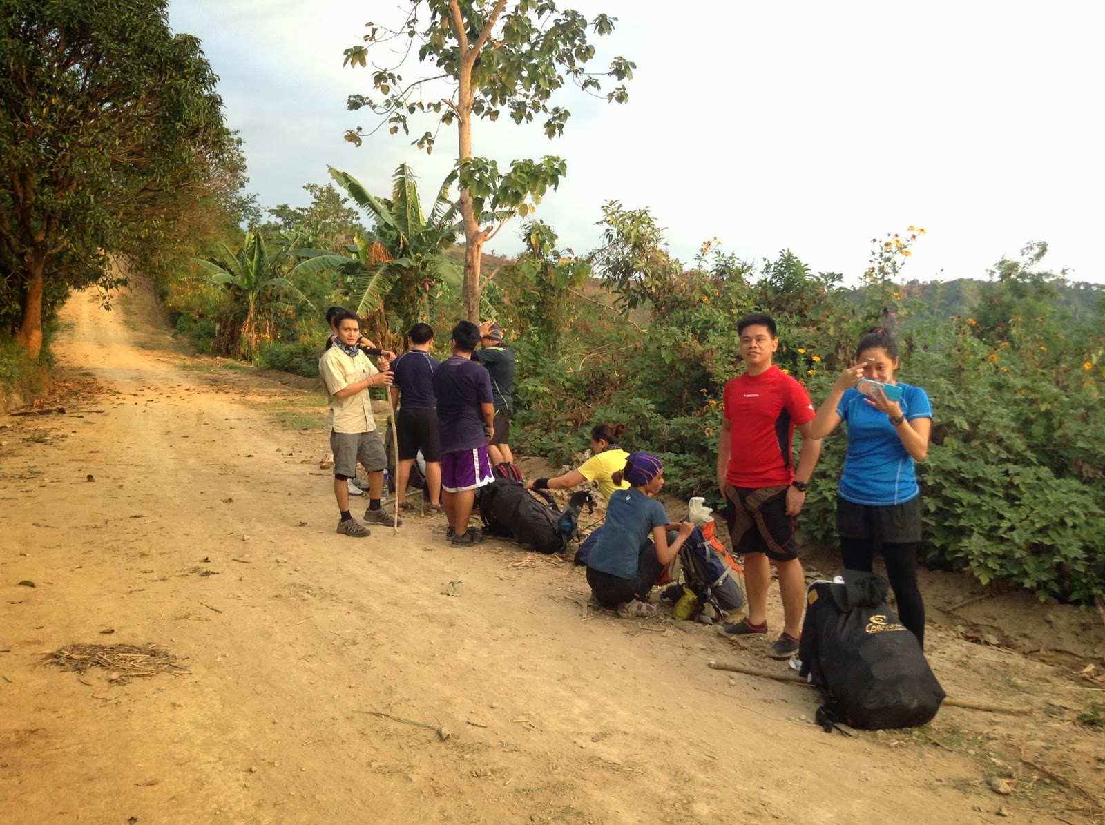
The trail that we used was the Sapang Uwak trail , the same route for the ultra running event the CM50, and going to Miyamit falls. The trail was wide open going to view deck then slowly began to narrow into a single file trail going to campsite 1 and campsite 2. So it would be better to start you itenary as early as possible.
 |
| Start of the hike. First of many assault |
If you want to do it via commute, from cubao ride bus going to north , go down in Dau Terminal, ride jeep going to Angeles, ask the driver to drop you off at nepo mart , from nepo mark look for tricycle going to sapang uwak.
If your going to rent your service, go to sctex, exit at porac, turn right at alviera land, turn right again into the first tunnel, turn left, then proceed to the next tunnel. There will be a checkpoint so better prepare your permit coming from the municipality of porac.
From the jump off point to the view deck, it will take at least 4 - 5 hours hike in a relax pace. It is just a straightforward trail with its own up and down with no shade. From the view deck, it will take 2 hours to campsite and there's a fresh and cold water source nearby. The assaut to the summit where you can view the crater will take 3-4 hours from the campsite and there will be no water source so bring at least 3 liters each , leave the 2 liters on the trail so that you'll have something to drink on your way back, when the sun catches up on you.
 |
| Just keep moving forward. |
 |
| 5 mins rest |
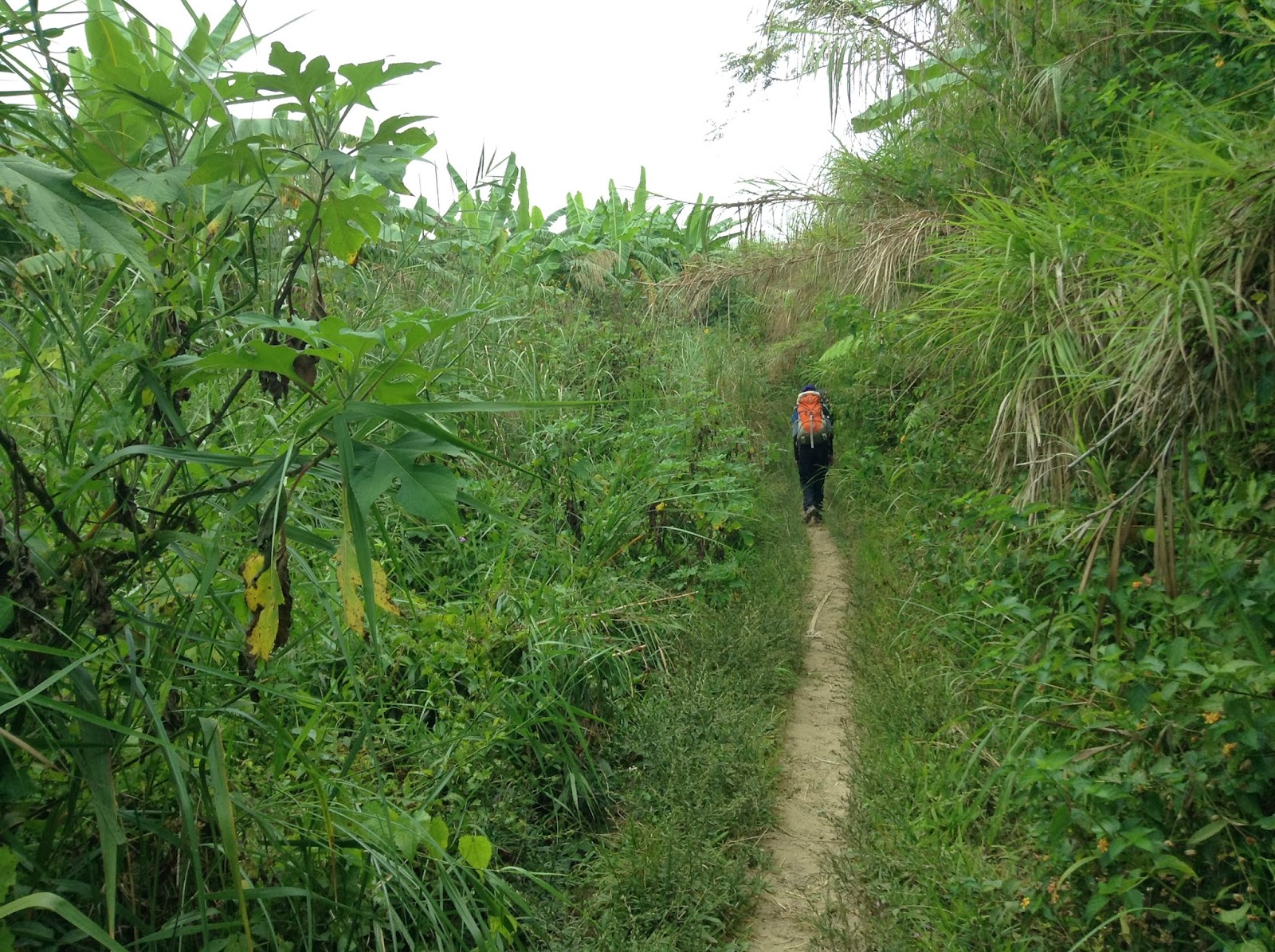 |
| Single file trail. |
 | ||
| Caution |
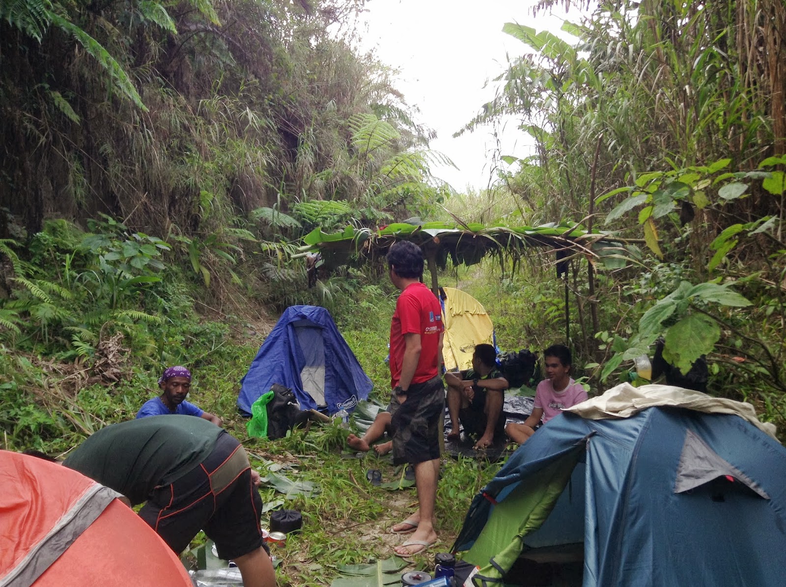 |
| Campsite |
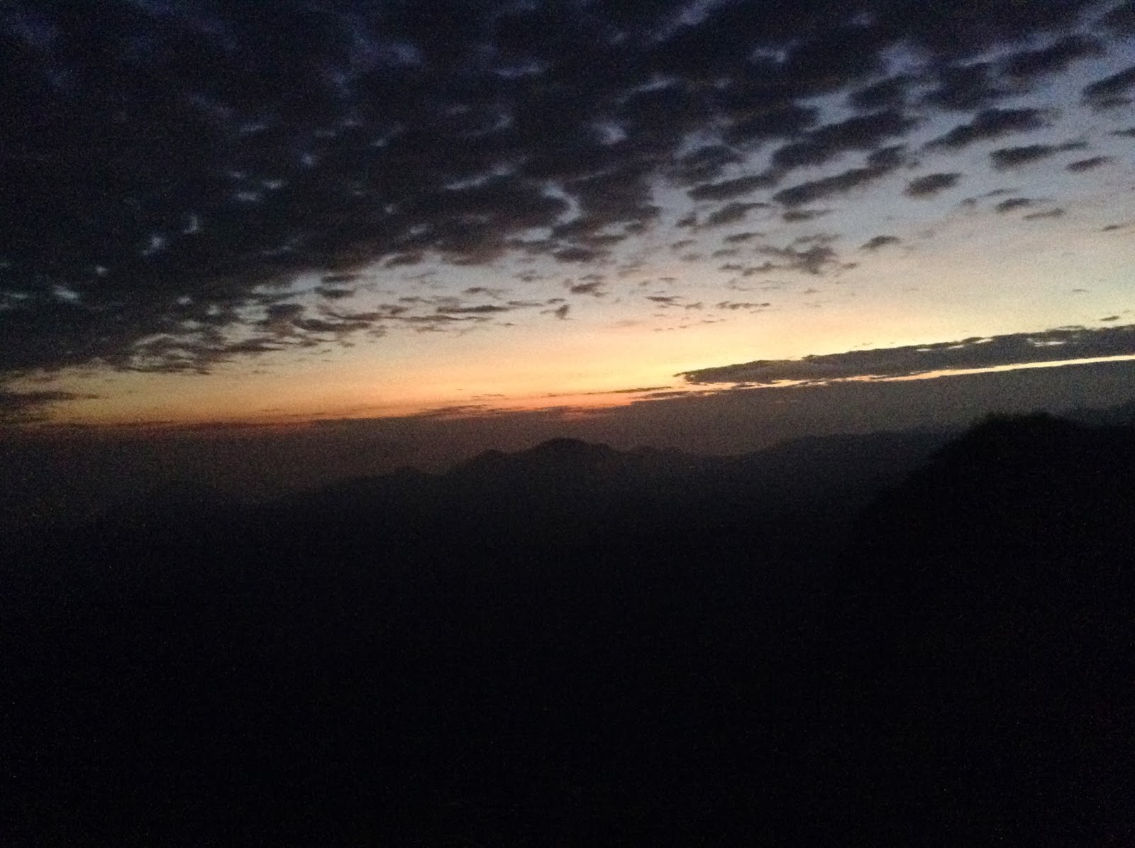 |
| Morning View |
 |
| Look up. |
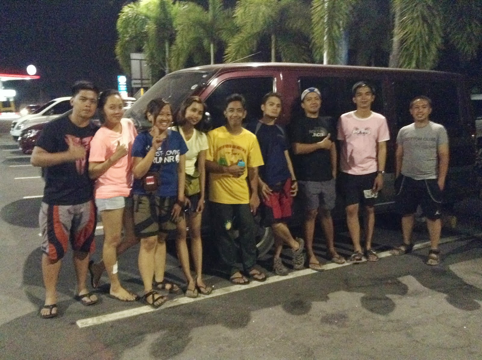
Here's our itenary with rented van.
Day 1
2:00 am : Assembly in Mcdo Quezon Ave
2:45 am : Etd to Porac -
5:30 am : Eta Sapang Uwak - Register meet guide
6:00 am : Start trek
9:30 am : Eta View Deck
10:30 am : Lunch on trail with water source nearby
12:00 pm : Proceed hiking
01:30 pm : Reached Campsite, pitch tent - rest
04:00 pm : Early Dinner
06:00 pm : Sleep
Day 2
02:00 am : Wake up Call
03:30 am : Breakfast
04:15 am : Start trek to summit
07:30 am : Summit
08:30 am : Trek Down
09:30 am : Camp 2
01:00 pm : Camp 1 lunch
02:00 pm : Resume trek to View deck . Due to the groups fatigued , we decided to rent 4x4 from view deck to Barangay hall.
05:00 pm : View Deck, ride the 4x4
05:30 pm : Barangay Hall tidy up
07:00 pm : Etd to Manila
 |
| Signature pose. Giving thanks to the Almighty |
 |
| Almost there. |
 |
| New friends and trail buddy. |
The summit of the crater was recorded at 1350 - 1400 masl. Camp 1 was more that 1000 masl.
This climb was made possible by Sir Jerry Guiao, Rudy Halcon and John Arvin Ramos. My heartfelt gratitude goes to them..