Monday, August 11, 2014

The Big H

MT. HALCON 
Baco, Oriental Mindoro
Major jumpoff: Brgy.Miyabig, Baco, Oriental Mindoro
LLA: 13° 15.749N 120° 59.703E, 2582 MASL
Days required / Hours to summit: 3.5-4 days / 15-18 hours
Specs: Major climb, Difficulty 9/9, Trail class 2-5
Features: River crossings, mossy forests, rocky ridges

** From Pinoymountaineer.com


Team Hotdog at the jump off - all smiles after the climb
Having heard that Mt Halcon was initially open last year, one group who have contacts in the area successfuly ascend its peak , posted their pictures in facebook. This action arouse the interest of many waiting to set foot in Mt Halcon. That time finding the right contacts who can help you organize a climb proved to be difficult. As those who have climb it, doesnt want to give you any information about the climb, they point you everywhere, then you realize that their making a fool out of you. Soon this group organized monthly climb to Mt Halcon - with a fee of P3500 and foods are not included. And of course they make a lot of profit out of it. Then you just realize that everybody else is organizing their halcon climb. It seems that they are just in their circle of friends, trying to make money out of curious , uninformed, interested individual. 

At the Campsite
I dont want to spend that much for a climb knowing that the cost is not that much. It took me a year to finally climb Mt Halcon. I do my homework before then , I tried to reached out to tourism office in Baco but they said that there is no official statement yet that Mt Halcon is open for hikers. You should climb at your own risk.
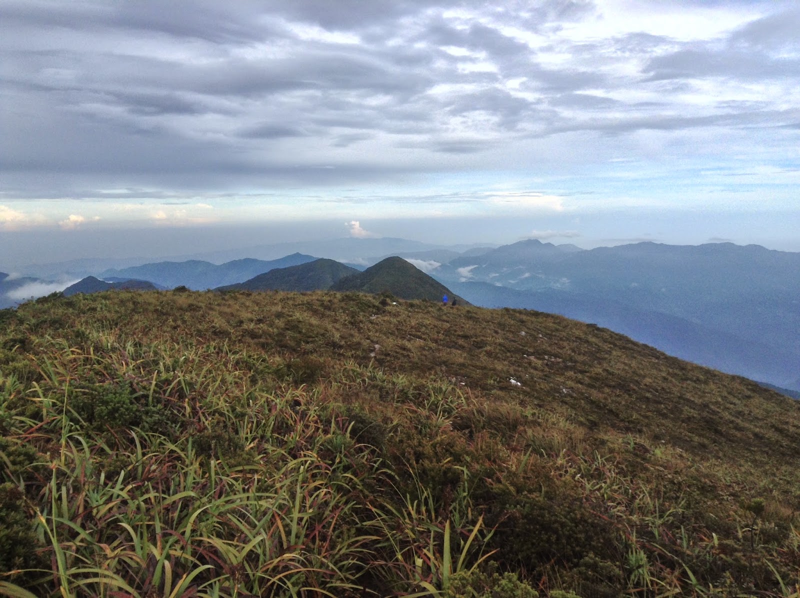
Slopes of Halcon
An invite was sent by My Mentor - Alex that its now possible and safe to climb Mt Halcon and the fees will be divided equally to the numbers of the participants. And that is the great opportunity for me and my climbing buddy - Errol to finally experienced the Halcon challenge.

Kawayanan Campsite
The weekend before our Halcon climb - I have an organized Mt Purgatory traverse climb that served as our tune up climb. With little rest , and lots of excitement - Halcon was a successful climb. 

The ladder
The trail of Halcon is just pretty straighforward. Theres a lot of trail sign in forms of tree hacked. The only confusing part is when you crossed the river. 
Water source is not an issue, as you will crossed a lot of river and waterfalls stream. 

Arm raised in a V at the famous dive board
Hiking it in summer can also cause difficulty as there are lots of open trail that can fried your skull , Having to do it on the rainy season - crossing the raging dulangan river can give you a nightmare and the cold temperature can send your body to chill. 

Dulangan River Rocks
When you plan to climb Halcon - please do so if your mentally and physically prepared. and you have the right equipment to regulate and control your body temperature.

Kubo at the Jumpoff with Alex Strong and others. 
In 1994 and 2004 two fatalities happened with different cause. The authority plan to close halcon this year as they fear that every 10 years - the mountain will take life away. 

Good thing - no bad news until this time about it. 

As they always say.. the rest is history.. 

Mt Halcon is closed for the rainy season and will open again next year in February to June.

For contacts : reached out to Halms 


Wednesday, July 23, 2014

Inov 8 rocklite 295 (old version ) review

For every hikers and trail runners , to have the right shoes is very important and crucial to finish the hike or the race with great satisfaction or dismay. To have just the regular cuts and bruises over the more painful blisters and dead nails. 
Just purchase from Aktiv Trinoma

To find the right shoes that fits and feels comfortable is one thing and to find the shoes that will help you ascend and descend without landing in your butt is also another. For us, we are too attached to brand and some marketing advertisement, we most likely to purchase the most expensive shoes we can find hoping that it will help us with our goal, for some people especially the new or beginner hikers they used merrel- because they might read it on pinoy mountaineers. Cant blame them, for I have used merrell also on my first year of hiking, only to find out that the grips and traction is not enough for the muddy, roots and slippery trails that we have. For my second year of hiking I purchase Teva forge pro and just a few months, the columbia master of faster, they are much better than my Merrell, however Im still looking for something more. More grip over the slimy mud and rocks, wet leaves, loose soil, etc. Then I found out to my research the brand Inov-8 and I was in love with the model rocklite 295.


The model itself says it was only 295 grams and what I love more about the shoes is the outsole. If you check the lugs was deep and evenly space so that it can grip even the muddiest trail you can imagine. It also have a glow in the dark lining for added visibility. 

I have used this shoes for some of the most unforgiving mountain terrain, to the deep forest of Mt Talomo to the rocks of Mt Apo. To the wet and wild trails of Mt Kalatungan, Dulang Dulang , Kitanglad, Mt Lumot, Sicapoo, and most recently in Mount Halcon.

Taken from Dulang Dulang Summit

Taken from dulangan river of Mt Halcon
I higly recommend this shoes for beginners and veterans alike whose looking to have a comfortable and solid footing in mountains trail here. 

Just hoping you can stil find the same models, because Inov-8 just release a new update version of the rocklite 295.

If the only trail you run and hike is just miyamit and nuvali - I suggest you get out more..The trail there is just easy you can hike and run there with just your regular running shoes. 

I love the brand so much that I have 3 Inov 8 shoes. The rocklite 295, the trailroc 255 and the road shoes roadxtreme 208.

Rocklite 255 just out of the box
At the summit of Mt Kanlaon

Road Xtreme 208
What shoes are you using? 


Wednesday, July 9, 2014

Purgatory traverse

Mt Purgatory Traverse 
Mt Pack-Mt Purgatory-Mt Kom-kompol
Entry Point : Japas Bokod
Exit   Point : Ekip Bokod

Partial Group Pic

Mt Kom-Kompol Peak

               
The Trail that will remind you of Mt Pulag akiki and Mt Ugu's Trail


For more information please visit http://mtpurgatory.weebly.com/


Tuesday, April 29, 2014

Tarak Traverse Dayhike

TARAK RIDGE
Mariveles, Bataan
Jump off point: Brgy. Alas-asin, Mariveles
LLA: 14°30.357′N, 120°30′E, 1,006 MASL (ridge); 1,130 MASL (peak)
Days required / Hours to summit: 2 days, 5-6 hours
Specs: Major climb, Difficulty 4/9, Trail class 3

**Source
Pinoymountaineer.com

The group a few minutes after we start.
Ive been wanting to experience the trail to Mt Mariveles peak via paniquian river for months. Just like Mt Palali, this peak is always elusive. Something always happen to abort the hike. This time with the right group of people and with strong determination and luck, We finally nailed it. We did the Tarak Circuit Loop.

The start of the cogon grass trail to paniquian river
The climb was made possible by Team Look up and our guide Bernie ,and our driver Mac. The traverse or loop was possible for a dayhike via commute if your climbing with veterans and strong hikers. For newbie and not so strong and your at least 10, It would be better if  you can rent a service. That way , the transportation going back home should not be a problem in case you experience some delays.

Entry to Paniquian River on top of Paniquian waterfalls
The trail was not that difficult if you are an experienced hiker, but for the new ones, of course it would be a challenge for them. From the paniquian river you need to walk on rocks so maintain your balance, one slip and who knows what would happened. From the falls the trail was all uphell with some bouldering along the way at least it was forested to help you with the heat. The final stretch to the summit more like 10 to 15 minutes open trail. You can sea the entire mariveles sea at the background. From the summit you can either pass in El Saco Peak or back trail a little then turn left to the tarakridge.

The Paniquian River

Sllaj Falls
From the ridge to the papaya river it was all downhill. From papaya river to exit point it was an easy rolling terrain. You can finish it within an hour or more than an hour depends on your pace.

Uphell trail to summit


Open trail to the peak
The Tree at the Tarak Peak


Tarak Ridge
For guide please contact Bernie : 09198114849

Group Pics at the Peak

A link of the blog who help me get in touch with the guide. Thanks sir.

http://iamnoempty.weebly.com/1/post/2013/04/tarak-ridge-reverse-traverse-dayhike.html

Saturday, April 26, 2014

Hike You Remember

Mt Manabu Circuit Loop

Mt Manabu to Biak na Bundok to Mt Manabu Jump off via hidden trail

For the past months , Ive been hiking with my new found group that was not so veterans yet in terms of hiking experience. And they gave me some contentment and new found wisdom in my hiking sense. Climbing with veterans is another experience, you will not worried that much with your companion because you know that they know what they're doing and can finish the trek without much issue. However with the group of newbie, the experience is totally different. You need to look on each and everyone of them and see if they need rest, if they can still continue, which one is having problems with his/her load. Being a climb leader for two different groups means you need to adapt with different persons and situations, and that will make you more matured and somehow be a better version of you.

Mt Manabu Summit
The initial plan was to traverse the Manabu to Malipunyo. However , I have not been climbing with the group that I will lead before. So I set up their expectations that we will hike to Mt Manabu first, once we reached the summit, will check if they can still continue to hike for 5 to 7 hours to complete the traverse. I reached out to my friend Mario the reliable guide of Malipunyo traverse and told him the plan. He suggested that we can push until biak na bundok and they made a circuit back to Manabu jump off without doing a back trail . We like the idea, and for the first time we do the Manabu circuit loop.

At Biak na Bundok. Picture courtesy of Mahki Hugz

Mang Mario the realiable guide of the entire Malarayat mountain range. Pics courtesy of Mahki Hugz     


According to Mang Mario theres a new traverse that will exit to Tiaong Quezon. Also theres a trail that will exit to San Pablo via sky way and the easiest traverse would be the exit to Malipunyo or Manabu.

Inside the Manabu Circuit. A wide open space.Pics courtesy of Mahki Hugz


At the finish line. Pics courtesy of Mahki Hugz


Special thanks to Mang Mario for assisting us to finish the circuit. To Ate Linda for providing us a delicious meal to dig into after the hike. And for new friends and climb buddy. See you again at the trail..

This was indeed a hike to remember.


Sunday, March 30, 2014

Mt Kanlaon with Mt Talinis Sidetrip

MT. KANLAON (MAPOT-MASULOG TRAIL)
Canlaon City, Negros Oriental

Entry point: Sitio Mapot, Brgy. Maiba, Canlaon City
Exit point: Sito Mananawin, Brgy. Masulog, Canlaon City
LLA: 10°24'44"N, 123°7'55"E, 2435 MASL (#27)
Days required / Hours to summit: 2-3 days / 9-11 hours
Specs: Major climb, Difficulty 7/9, Trail class 2-

**
Source : Pinoymountaineer.com

After almost a year of planning and coordinating with people who can make this hike happened. We did Mt Kanlaon via Mapot - Mananawin traverse with Mt Talinis Apolong to Bediao Traverse sidetrip in 4 days.

Respect Salute at the crater of Mt Kanlaon
The key to make it work is that to book your flight early, make all the preparations and contacts as early as possible. All the things that you need to buy should be listed to save time. Make all your arrangements to your point of contact as clear as possible to avoid delays.

Margaja Valley
What we did is that we traverse Kanlaon in 2 days , we ascend to the peak on the day we arrived in Canlaon City. Then we descend the next day, rest in basecamp, wait for the first trip going to dumaguete, meet the guide and start our journey to traverse Mt Talinis.

Boy Band
There's a lot of articles and itenaries posted on the internet about these two mountains and I will not add up to the world wide web storage. Maybe I can just share the cost and other expenses for these climb so that you can plan accordingly if you want to try this.

Casaroro falls


Twin Falls


Lake Yagumgum
From Silay Airport take a taxi to Bacolod Ceres Terminal : P500
Ceres terminal to Canlaon city : P115
Canlaon City to Jump off via Habal Habal - P150 and another P150 for pick up on your descend
Permit fee : P300/head
Permit processing fee : P200/group
Guide fee : P700/day
Porter fee : P500/day

Van to Dumaguete : P180
Jeep to Valencia     : P15
Habal to Jumpoff   : P100/head
Casaroro falls entrance fee : P10
Guide fee : P500 - P1000 per day
Habal from exit point to highway : P100
Jeep to Dumaguete : P15
Bus to Bacolod       : P178
Taxi to Airport        : P 500

Thanks to Epoy Cabatingan, Mark Mapili, Tata and Jovie and Adrianne Pajunar for all the assistance. With your help were able to ascend and descend without problems.

Special thanks to my hiking buddies - Errol, Cliff and Kyt - you guys rock..

For other information and contacts, please visit pinoymountaineer.com

Drying our wet gears


Tuesday, February 11, 2014

The complete idiot guide for Mt Pinatubo via Sapang Uwak Trail

Mount Pinatubo is an active stratovolcano located on the island of Luzon, near the tripoint of the Philippine provinces of Zambales, Tarlac, and Pampanga.[3] It is located in the Cabusilan Mountains[3][4] separating the west coast of Luzon from the central plains. Before the volcanic activities of 1991, its eruptive history was unknown to most people. It was heavily eroded, inconspicuous and obscured from view. It was covered with dense forest which supported a population of several thousand indigenous people, the Aetas, who fled to the mountains during the Spanish conquest of the Philippines.

--From wikipedia

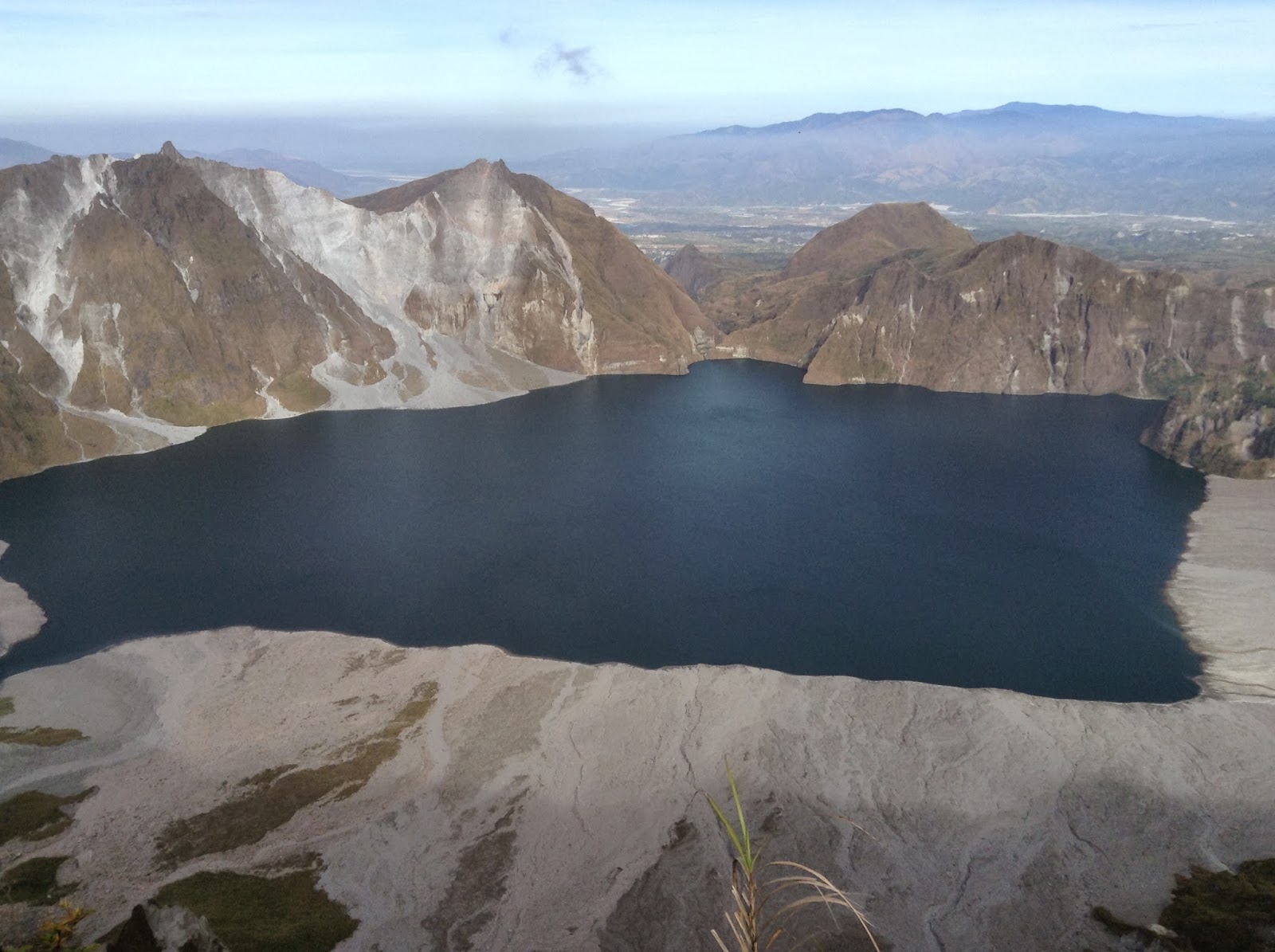
View from the crater.
Theres 4 recorded trails going to the crater of Mt Pinatubo, One in Capas Tarlac for those who wants to have an easy trek, Delta - 5, Sapang Uwak and the trail coming from Zambales.

The trail that we used was the Sapang Uwak trail , the same route for the ultra running event the CM50, and going to Miyamit falls. The trail was wide open going to view deck then slowly began to narrow into a single file trail going to campsite 1 and campsite 2. So it would be better to start you itenary as early as possible.

Start of the hike. First of many assault

If you want to do it via commute, from cubao ride bus going to north , go down in Dau Terminal, ride jeep going to Angeles, ask the driver to drop you off at nepo mart , from nepo mark look for tricycle going to sapang uwak.

If your going to rent your service, go to sctex, exit at porac, turn right at alviera land, turn right again into the first tunnel, turn left, then proceed to the next tunnel. There will be a checkpoint so better prepare your permit coming from the municipality of porac.

From the jump off point to the view deck, it will take at least 4 - 5 hours hike in a relax pace. It is just a straightforward trail with its own up and down with no shade. From the view deck, it will take 2 hours to campsite and there's a fresh and cold water source nearby. The assaut to the summit where you can view the crater will take 3-4 hours from the campsite and there will be no water source so bring at least 3 liters each , leave the 2 liters on the trail so that you'll have something to drink on  your way back, when the sun catches up on you.

Just keep moving forward.
5 mins rest
Always start as early as possible to avoid being to baked in the Sun. And remember there's no restroom in Sapang Uwak,do your thing off the trail. Water is very scarce. From the last water source please carry enough water for your needs and for you wash up later when you come back at the jump off. 

Single file trail.
Caution

Campsite

Morning View

Look up.

Here's our itenary with rented van.

Day 1

2:00   am : Assembly in Mcdo Quezon Ave
2:45   am : Etd to Porac -
5:30   am : Eta Sapang Uwak - Register meet guide
6:00   am : Start trek
9:30   am : Eta View Deck
10:30 am : Lunch on trail with water source nearby
12:00 pm : Proceed hiking
01:30 pm : Reached Campsite, pitch tent - rest
04:00 pm : Early Dinner
06:00 pm : Sleep

Day 2

02:00 am  : Wake up Call
03:30 am  : Breakfast
04:15 am  : Start trek to summit
07:30 am  : Summit
08:30 am  : Trek Down
09:30 am  : Camp 2
01:00 pm  : Camp 1 lunch
02:00 pm  : Resume trek to View deck . Due to the groups fatigued , we decided to rent 4x4 from view deck to Barangay hall.
05:00 pm  : View Deck, ride the 4x4
05:30 pm  : Barangay Hall tidy up
07:00 pm  : Etd to Manila


Signature pose. Giving thanks to the Almighty
Almost there.

New friends and trail buddy.


The summit of the crater was recorded at 1350 - 1400 masl. Camp 1 was more that 1000 masl.


This climb was made possible by Sir Jerry Guiao, Rudy Halcon and John Arvin Ramos. My heartfelt gratitude goes to them..